
This report presents design strategies to enhance safety, sustainability, and connectivity along the BQE, prioritizing pedestrian safety and resilience through community input and analysis.
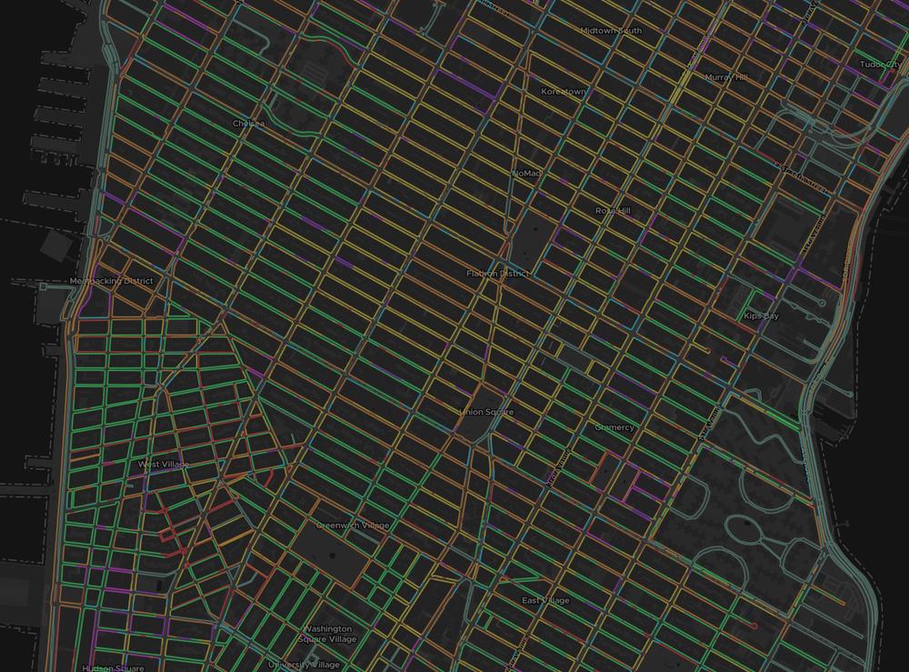
WXY developed a methodology to process and visualize all parking regulations for each curb segment in New York City.
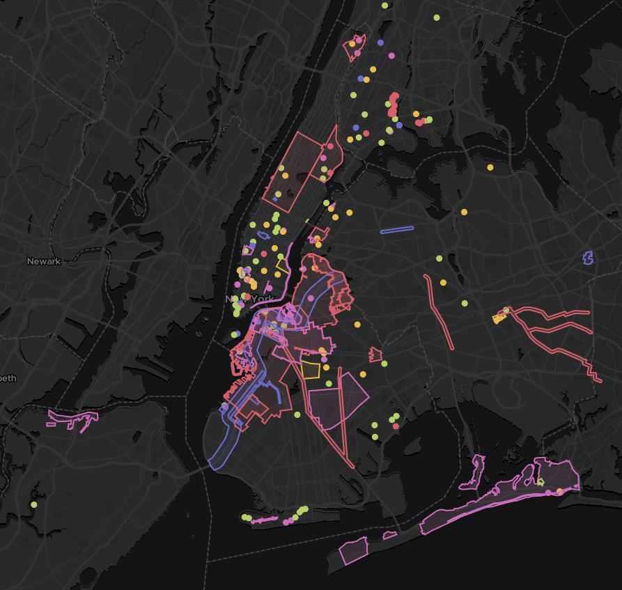
WXY has begun compiling a spatial record of all of our work in New York City to date, classified by project type.
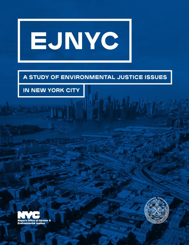
We developed the methodology and led the spatial analysis for EJNYC: A Study of Environmental Justice Issues in New York City, a groundbreaking report from the Mayor's Office of Climate and Environmental Justice that addresses environmental justice across the city.
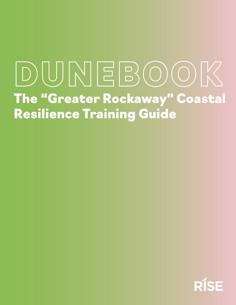
The “Greater Rockaway” Coastal Resilience Training Guide (the Dunebook) is a technical training manual used to support the work of RISE’s restoration stewards, including the Dune Squad, Shore Corps, staff members, consultants, and volunteers.
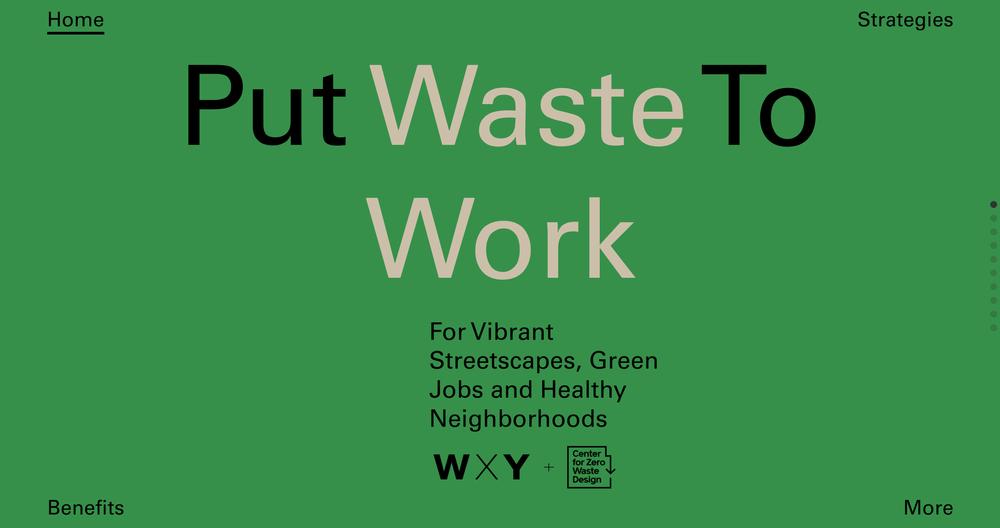
This campaign, developed in fall 2021 by the Center for Zero Waste Design and WXY, promotes equitable zero-waste strategies in buildings and public spaces. Together they also led the creation of the Zero Waste Design Guidelines, which compiled global best practices and engaged stakeholders to devise comprehensive waste reduction and management strategies.
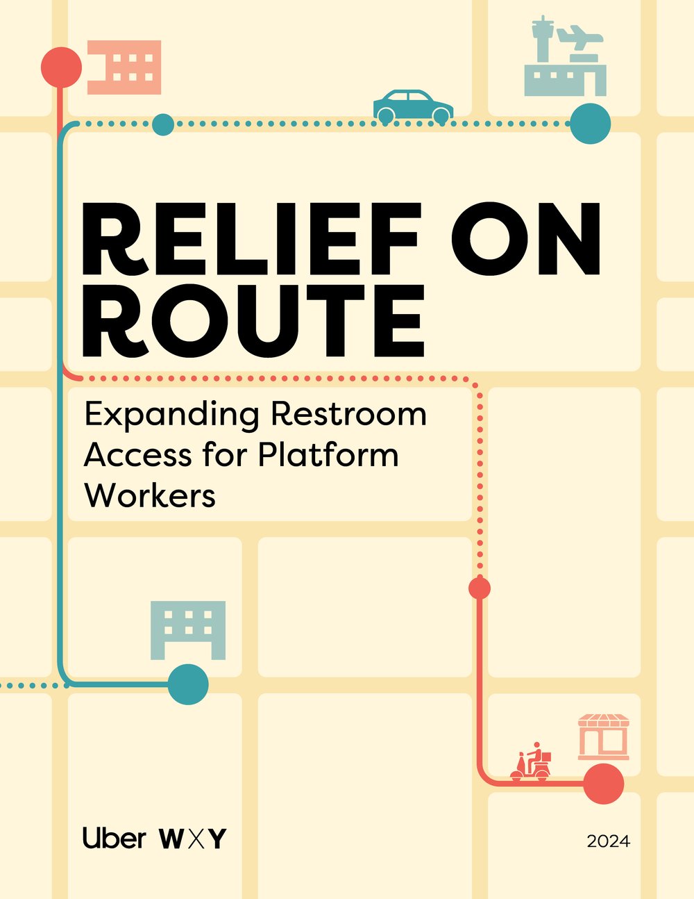
This initiative sheds light on a pressing issue faced by many in the gig economy: the lack of accessible, safe, and clean restrooms. Our team collaborated on research and strategy to emphasize inclusive urban planning solutions that improve conditions for workers while fostering partnerships among businesses, government, and communities.
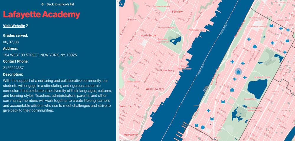
WXY designed and developed a website for NYC DOE D3 to connect communities with their schools
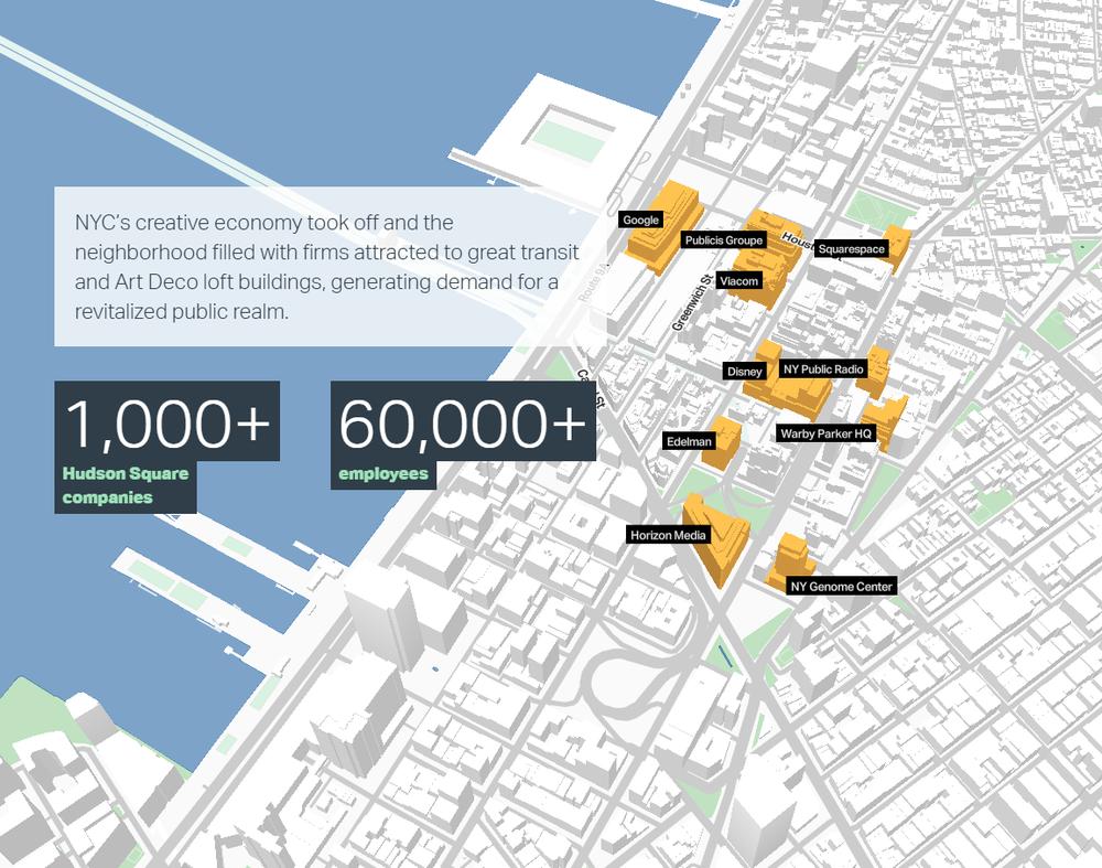
The Hudson Square BID plan reimagines neighborhood streets and public spaces, using an interactive website to showcase economic and urban design opportunities.
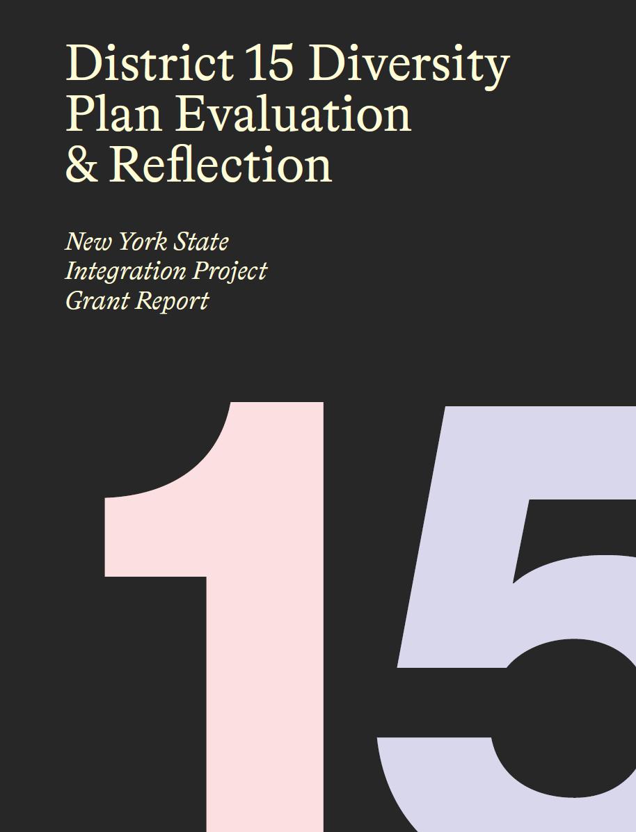
The D15 Plan Evaluation & Reflection report, funded by a NYS Integration Project grant, provides the first comprehensive review of District 15’s integration efforts. Conducted by WXY Studio, it combines DOE data with community feedback to assess the plan's implementation and impact.
The DME Interactive Boundary Explorer lets users examine current DC public school boundaries, propose new ones, and analyze their potential impacts.
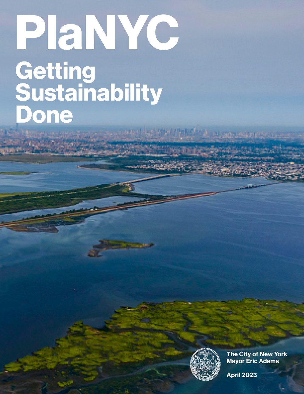
The PlaNYC Getting Sustainability Done Report outlines New York City's comprehensive sustainability and resilience plan, focusing on reducing climate impacts, enhancing public health, and fostering equity. It highlights actionable strategies across energy, transportation, housing, and waste management to create a more sustainable and livable city by 2050.
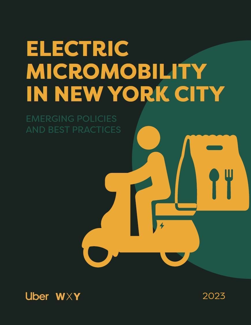
This white paper, commissioned by Uber and developed by WXY, highlights best practices for e-bike and e-scooter policy, covering safety, certified vehicles, charging solutions, and pathways to legal use, informed by research and stakeholder insights.
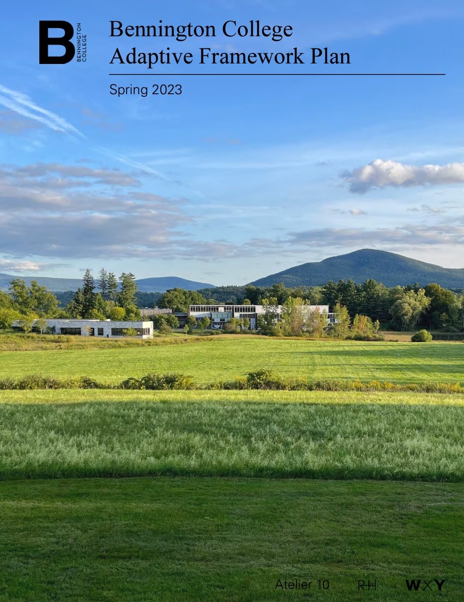
The Bennington College Adaptive Framework Plan provides adaptable strategies for the college’s growth by focusing on circulation, landscape, and sustainability, while ensuring alignment with strategic goals and enhancing the historic campus.
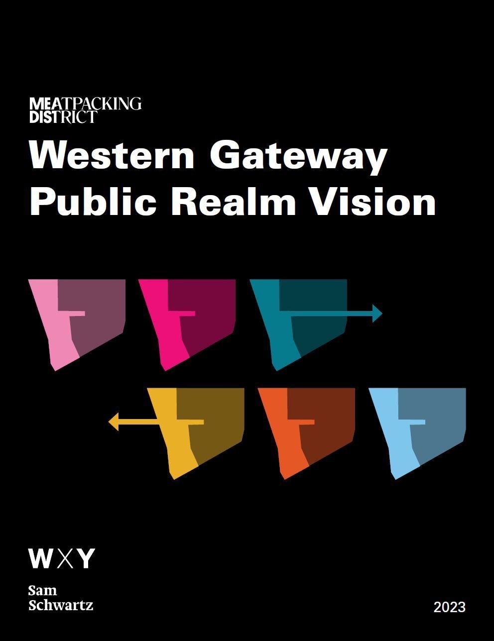
The Western Gateway Public Realm Vision Plan envisions a safer, more connected pedestrian area for New York’s Meatpacking District, linking its commercial core to the Hudson River waterfront, with insights from stakeholders and public agencies.
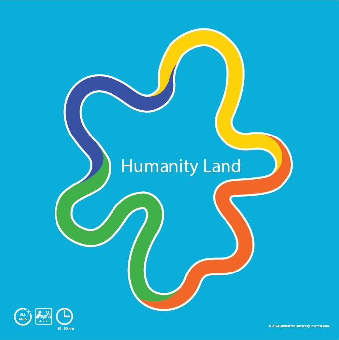
Working closely with Habitat For Humanity leadership, our team developed an interactive game called Humanity Land to facilitate discussions around affordable housing development.
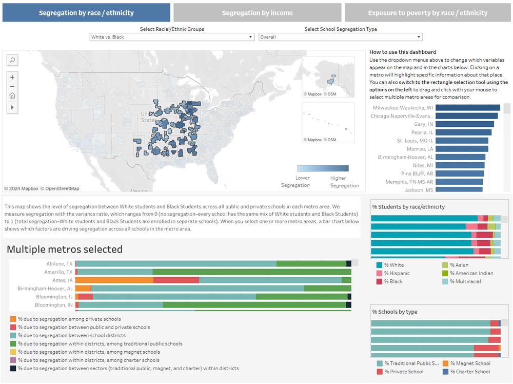
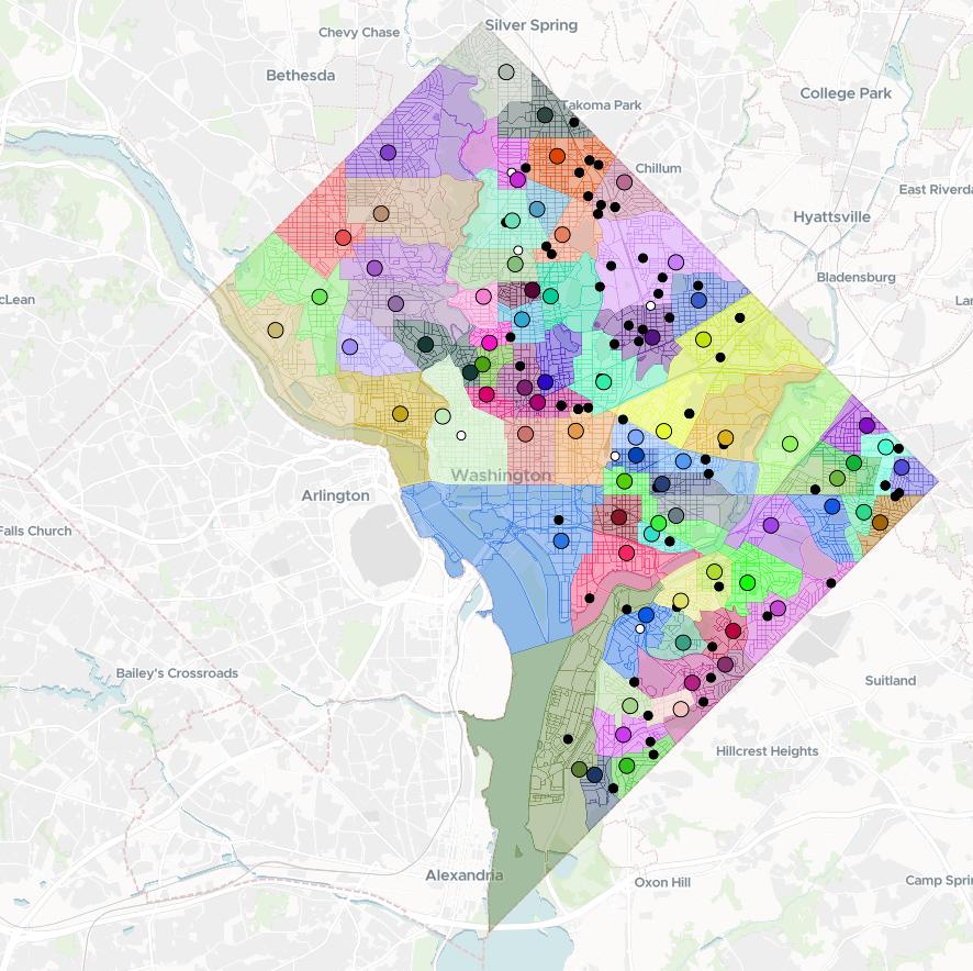
WXY partnered with researchers and the Century Foundation to develop a dashboard that tracks segregation patterns between and within school district lines.
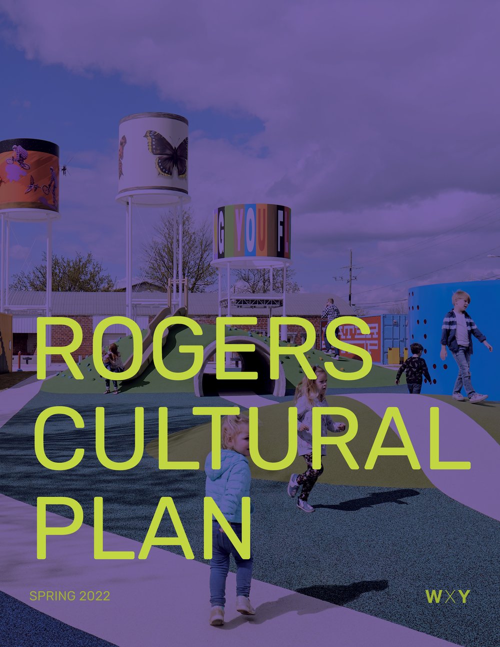
The cultural plan sets priorities for Rogers' Arts and Culture Division, focusing on public art, music, performing arts, wellness, and culinary arts. It serves as the first municipal cultural plan in Northwest Arkansas, outlining strategic initiatives for the next five years."
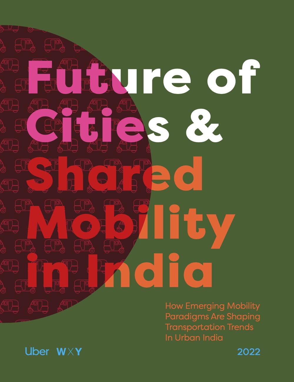
The Future of Cities & Shared Mobility in India Report, commissioned by Uber, explores the role of shared mobility in India's transport future, using survey data, expert insights, and Uber's geospatial analysis to assess policies, technologies, and trends in urban travel.
Davenport 2030: A Resilient City is a visionary roadmap for a sustainable, active, and inclusive downtown, focused on enriching the public realm through arts, culture, and economic development, with input from Quad Citizens, policymakers, and community advocates.
This report builds off of the analysis and engagement conducted during Phase 1 of the Districtwide Boundary Analysis, which is documented in the Interim Report published in March 2020.
Using data drawn from eight cities of different sizes and types across the globe, this white paper considers how Uber’s business transformed during the pandemic and posits a series of new frontiers for the platform to consider looking forward.
The Streetscape Improvement Plan for Hudson Square aims to create an inviting public realm and enhance neighborhood connections, supporting economic recovery from COVID-19 by activating public spaces and aiding local businesses.
This plan reimagines the Housatonic Riverfront, connecting it to the historic Village Center through improved access, economic development, recreational opportunities, and new housing, transforming a formerly industrial area into a vibrant community space.
Keeping the Tables Turning is a playbook for restaurant owners, offering expert health guidance, ideas for re-organizing spaces for socially distant dining, and strategies for marketing initiatives and events.
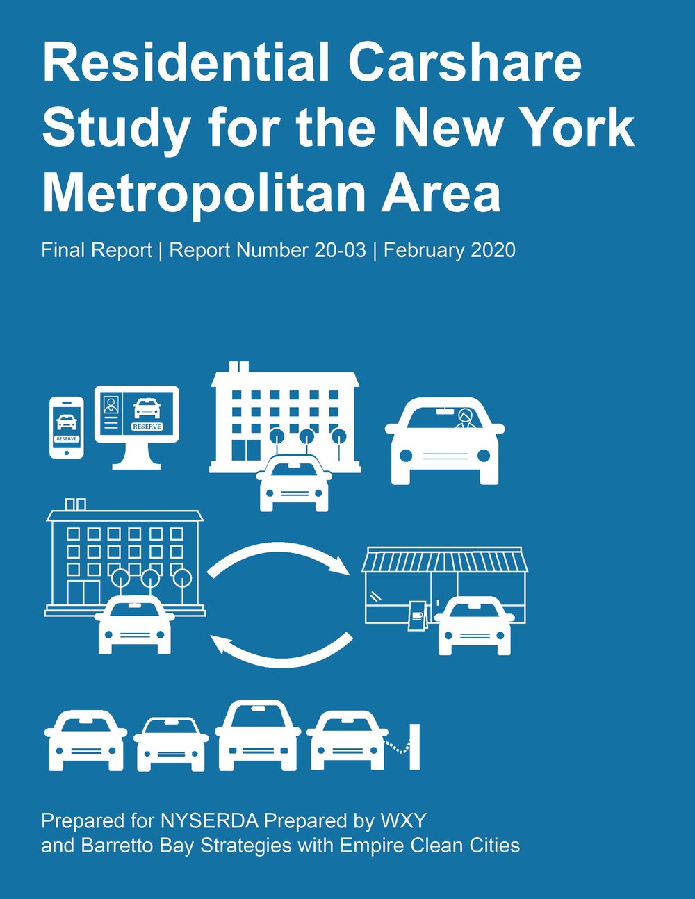
This report examines the feasibility of a carshare program using electric vehicles, focusing on deployment in residential markets, including LMI housing, with expertise from partners in New Rochelle, White Plains, and Yonkers.

This report covers the Cities and Civic Digital Spaces workshop, which explored how physical public space design can inform digital spaces, highlighting parallels between urban and digital challenges, and raising key questions for better governance.
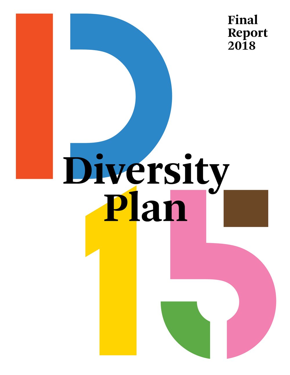
The D15 Diversity Plan, shaped by a community-based process, addresses academic excellence, equity, and diversity at the district level. It builds on years of local advocacy, engaging the D15 community in conversations about race, class, and integration to develop comprehensive, collaborative solutions for school diversity.
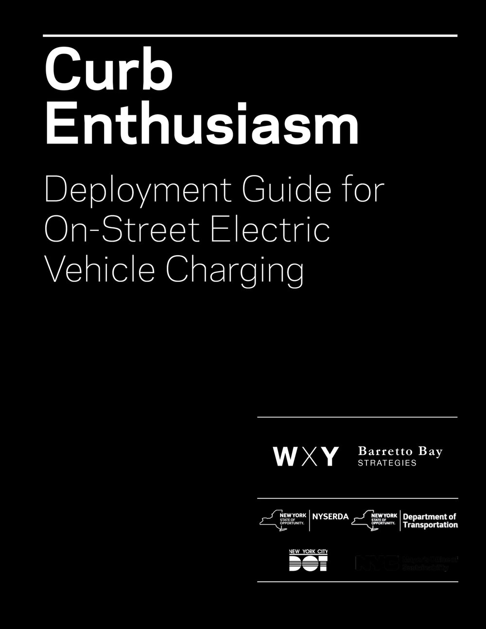
Curb Enthusiasm provides a roadmap for a citywide pilot deployment of Level 2 charging stations across New York City, addressing market forces, policy imperatives, and physical conditions that will shape local EV infrastructure projects of this scale.
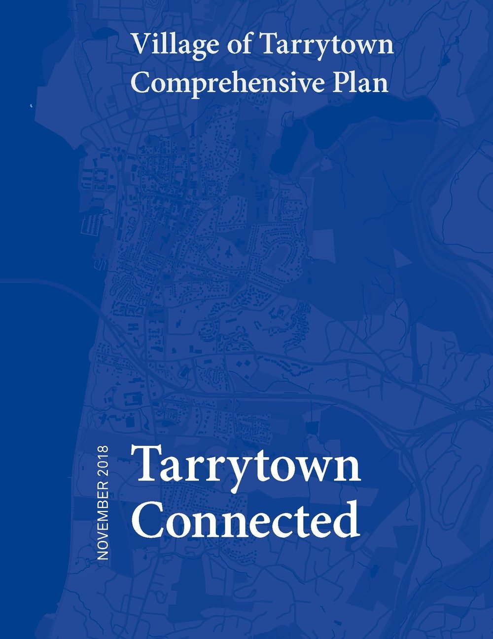
In 2017, the Board of Trustees launched a planning process for a Comprehensive Plan that reflects changes in Tarrytown since 2007 and reorients the focus towards future growth. Built on public input, the plan articulates the community’s vision through goals and policies to guide decision-making across Village Boards, Committees, and Councils.
This guide offers practical frameworks for sustainable and resilient design in architecture, urban planning, and related fields, exploring strategies for creating adaptable buildings and systems that minimize their ecological footprint.
Twenty leaders from the public space movement were interviewed to understand the shift towards public space from 1990 to 2015, supported by workshops with government, design, and civic leaders in 2016.
Architect d.b.a.: On Redefining the Roles of the Architect Today explores how architects are expanding beyond traditional roles to tackle social, environmental, and economic challenges, emphasizing innovation in urbanism, sustainability, and community engagement. WXY Principal Adam Lubinsky authored the first chapter, “Big Dreams in a Post-Master Planning World.”
This report summarizes research and interviews from NY4P, featuring insights from parks researchers, practitioners, real estate professionals, and community advocates. It highlights the importance of open space, challenges current development practices, and identifies ways to better support communities undergoing rezoning in advocating for parks.
This report focuses on North Brooklyn, analyzing conditions and identifying opportunities to make industrial uses more feasible and sustainable. Supported by a NY State grant program, it aids municipalities and community organizations in revitalizing brownfields and setting neighborhood priorities.
Blue Dunes chronicles the design of artificial barrier islands developed to protect the Mid-Atlantic region of North America in the face of climate change. This book was co-authored by WXY Founding Principal Claire Weisz.

This report examines the changing nature of freight deliveries, explores policy and physical solutions, and develops a quantitative approach to project future freight demand for better policy and management.
Recoded City: Co-Creating Urban Futures explores the concept of collaborative city-making, focusing on how communities and designers can reshape urban spaces through localized, bottom-up approaches. By highlighting projects around the world, including WXY efforts, the book showcases innovative ways that citizens and professionals are reimagining urban development to create resilient, sustainable cities.
The East Harlem Neighborhood Plan represents months of engagement and consensus-building, uniting local stakeholders to create a comprehensive vision for community development that will guide City policy and resources.
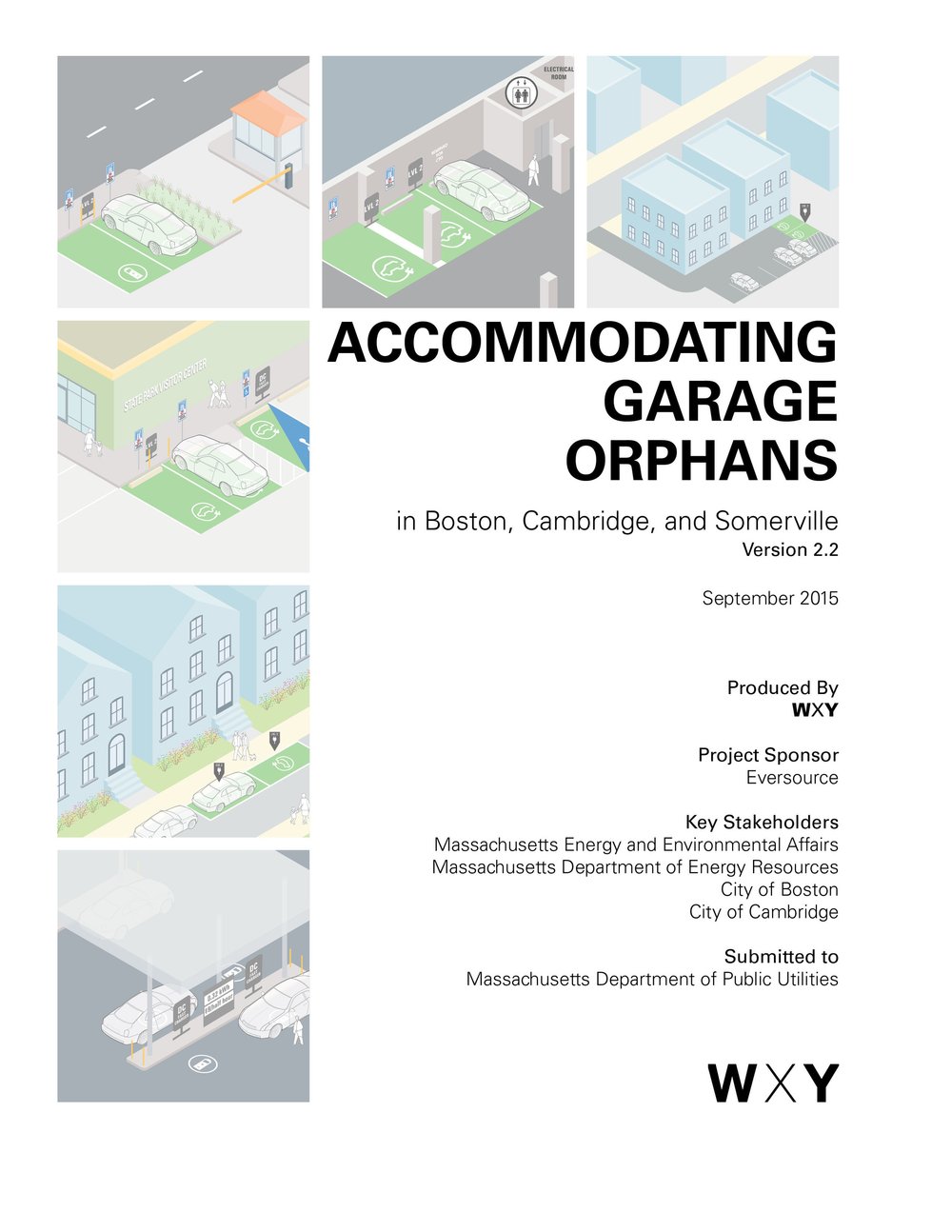
This report outlines strategies for charging solutions for 'garage orphans,' tailored to diverse urban contexts like Boston, Cambridge, and Somerville, with an adaptable methodology for broader application.
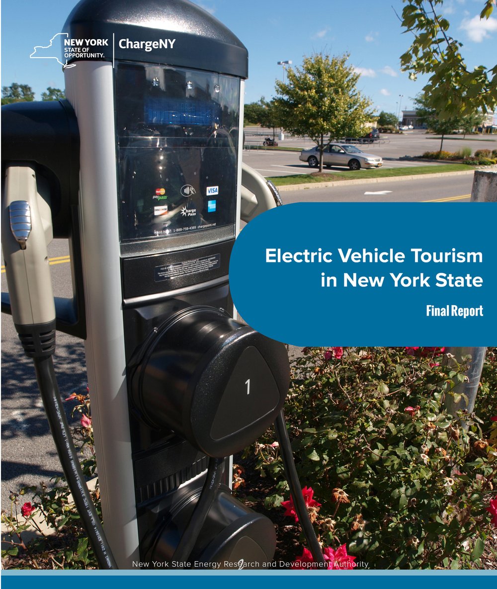
This study examined the feasibility, business modeling, and potential environmental impacts for electric vehicle (EV)-based tourism in the Hudson Valley and Catskills regions of lower New York State.
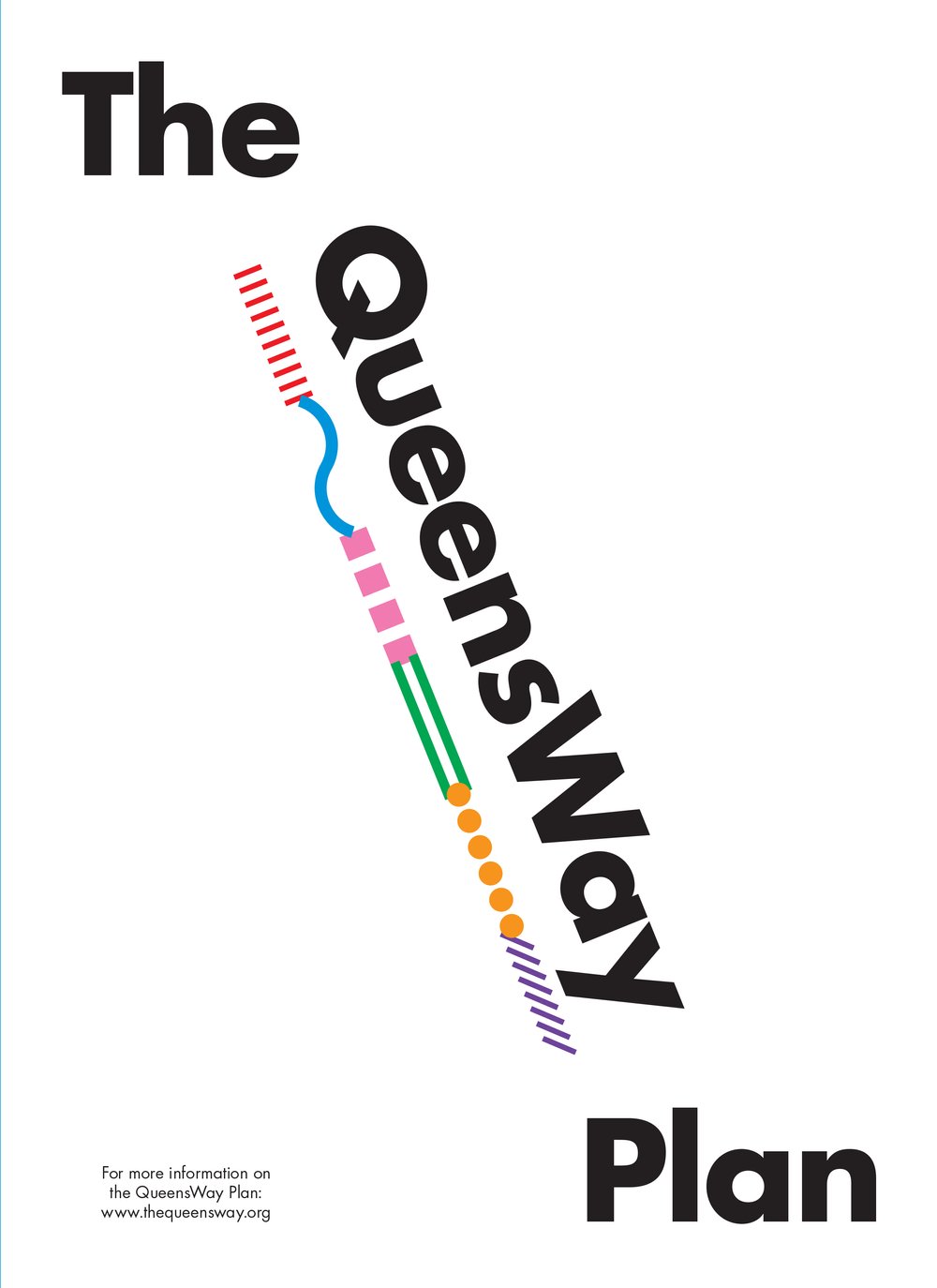
Funded by the State of New York, the QueensWay Plan explores converting land into a public park, informed by input from local communities through public meetings and workshops. This brochure focuses on six themes that define the vision, with maps highlighting key features and activity areas along the QueensWay.
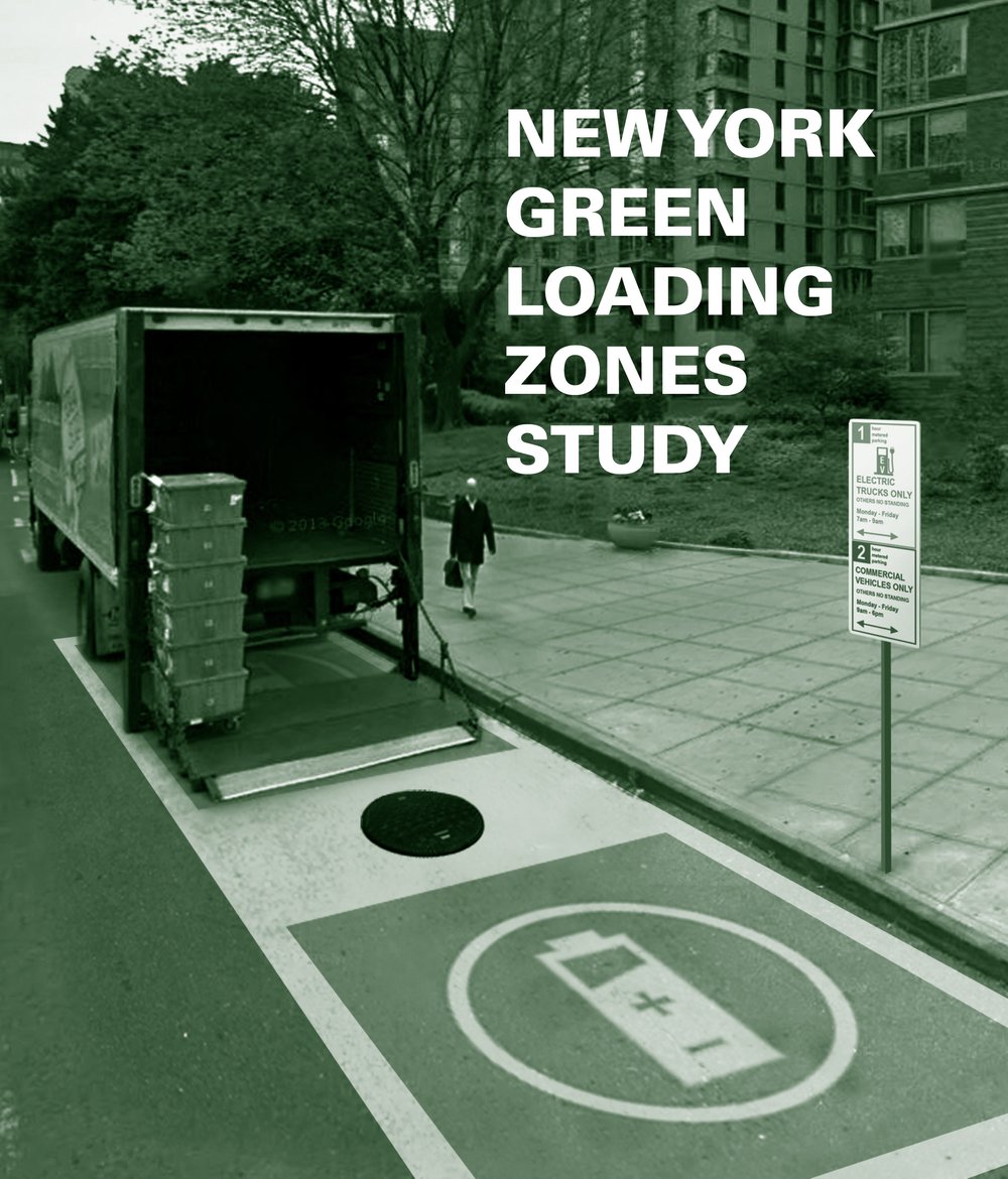
The purpose of this study is to examine the impact and potential benefits of Green Loading Zones (GLZs)—a policy solution to incentivize further electric truck adoption with the creation of curbside loading zones that are exclusively available to zero-emission commercial vehicles.
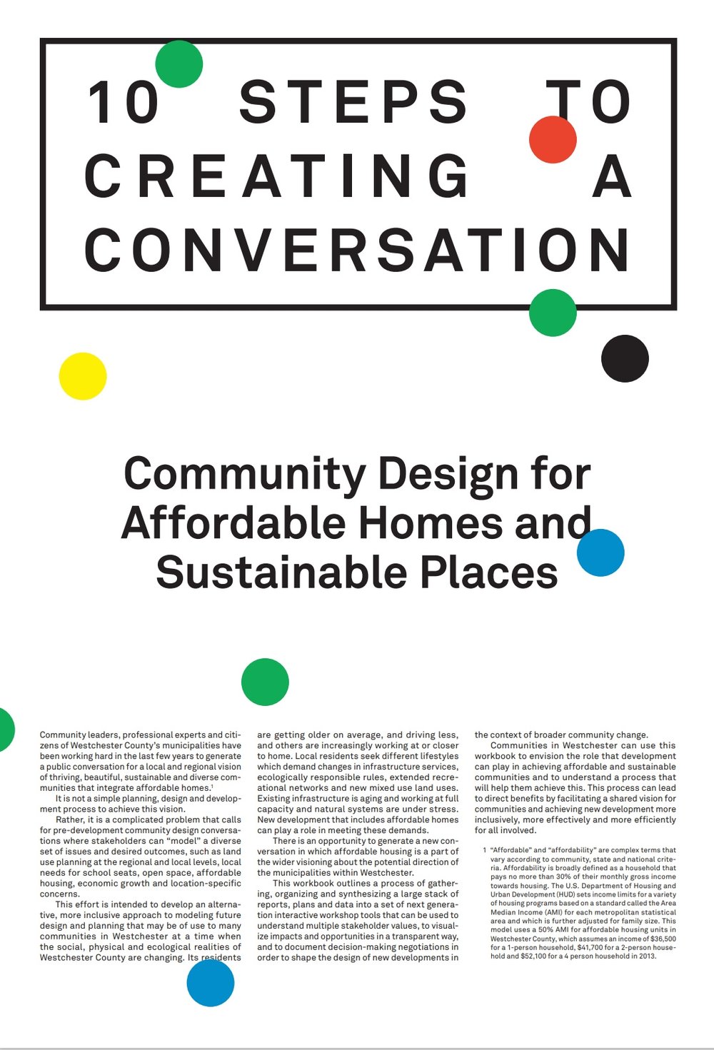
This workbook presents ten steps for transforming reports and data into interactive tools that help communities in Westchester shape sustainable development, visualize impacts transparently, and build a shared vision for inclusive growth."
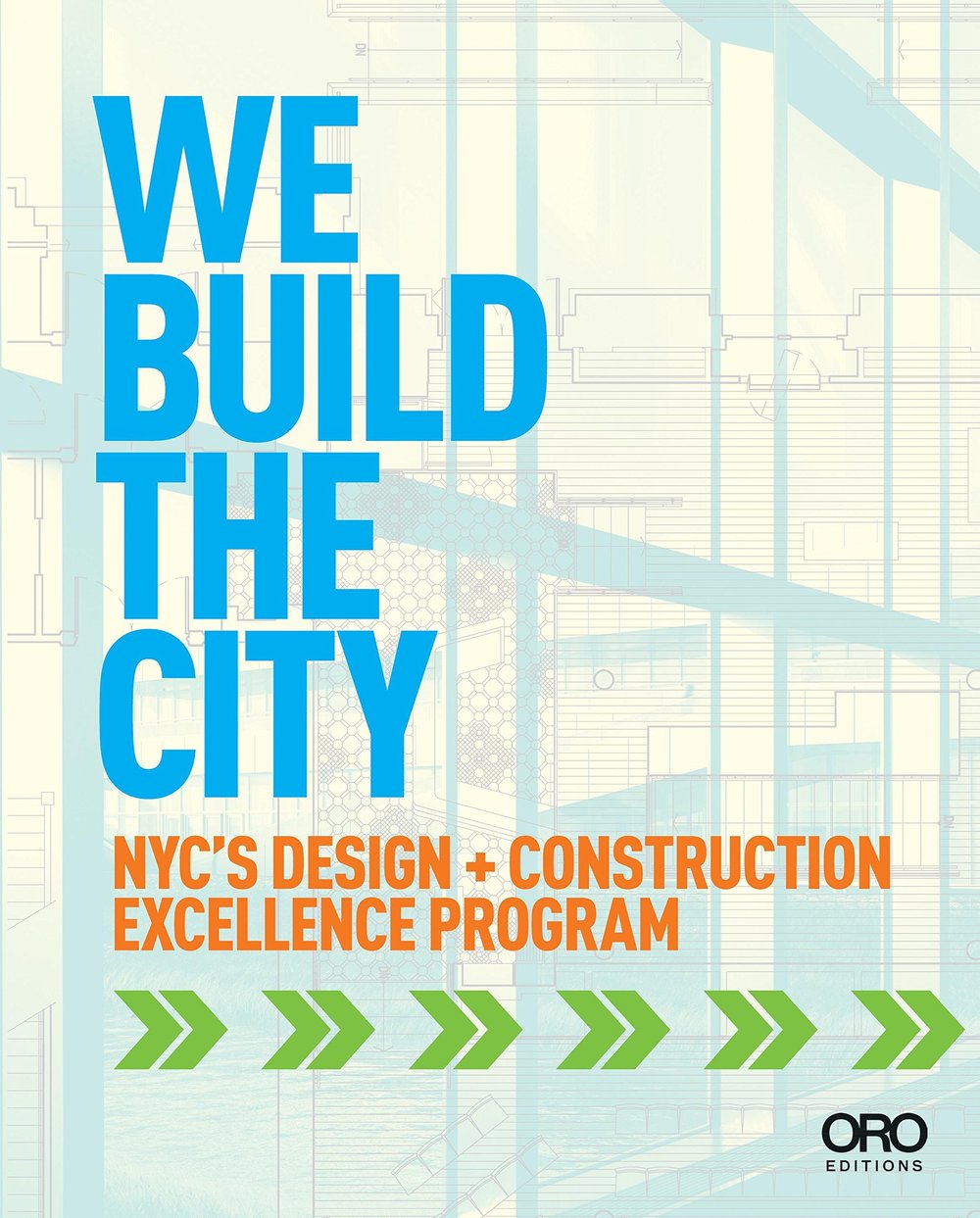
Features a selection of the exemplary infrastructure, public realm and civic building projects developed under the Department of Design + Construction Excellence (D+CE) program.
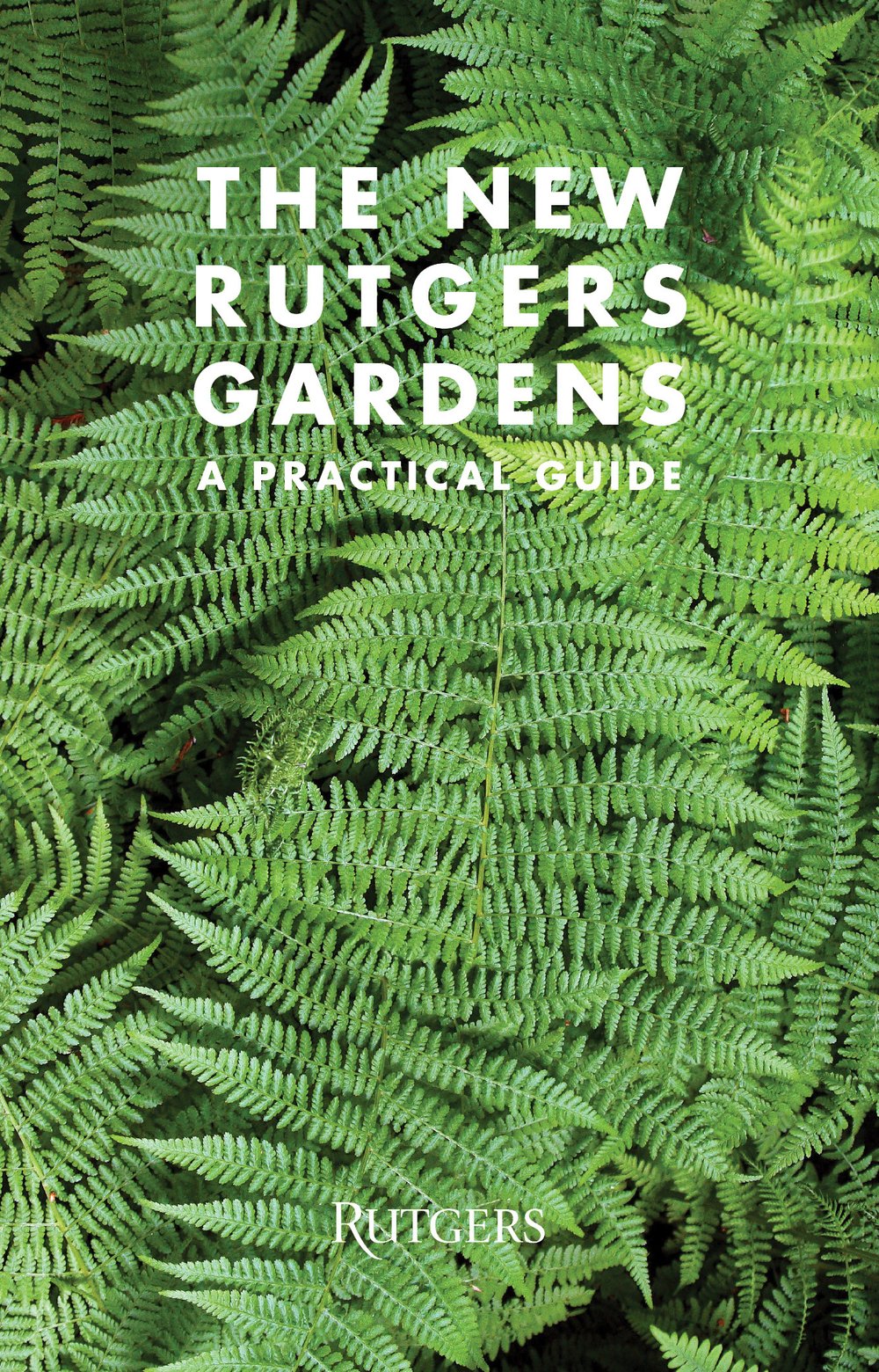
The New Rutgers Garden: A Practical Guide outlines designs for a visitor center, a series of rethought gardens and structures, and a new circulation system as an innovative development plan for the Gardens.
This action plan and blueprint embrace the diverse applications of 21st-century technology and the evolving job opportunities it creates. With support from government and private partners, it aims to meet the needs of the new economy, ensuring residents find opportunities and tech firms find the right talent.
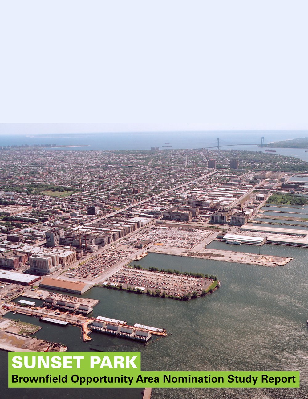
Guided by the community’s goals for Sunset Park, the team evaluated the area's physical, economic, and environmental conditions, leading to recommendations and strategies that address challenges and leverage assets for revitalization.
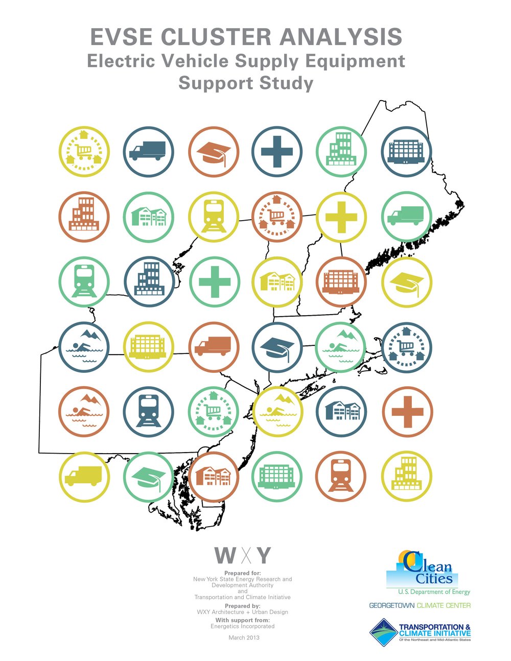
This report takes a rigorous approach to identifying what types of places make sense for EVSE deployment in order to encourage EV ownership and usage.

The East River Blueway Plan is an ambitious blueprint designed to re-imagine a stretch of Manhattan’s waterfront—from the Brooklyn Bridge to East 38th Street—while protecting the city from rising water levels and severe storms