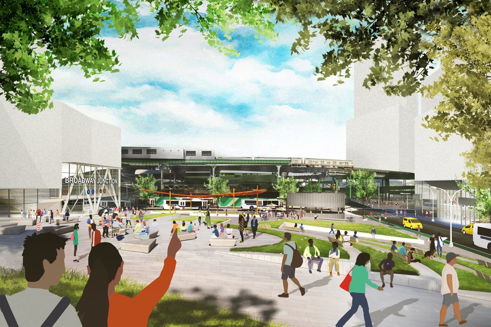
Working with the landowners, Plaxall Inc., WXY developed a new mixed-use district master plan on the waterfront in Long Island City. Rooted in the area’s creative and manufacturing history, our master plan for Anable Basin combines community-focused, pedestrian-friendly spaces, residential units, and business campuses. The proposal for a rezoning of this industrial area balances economic opportunity, much-needed housing, connection to the waterfront and environmental resilience to define the future for this 12-acre site.
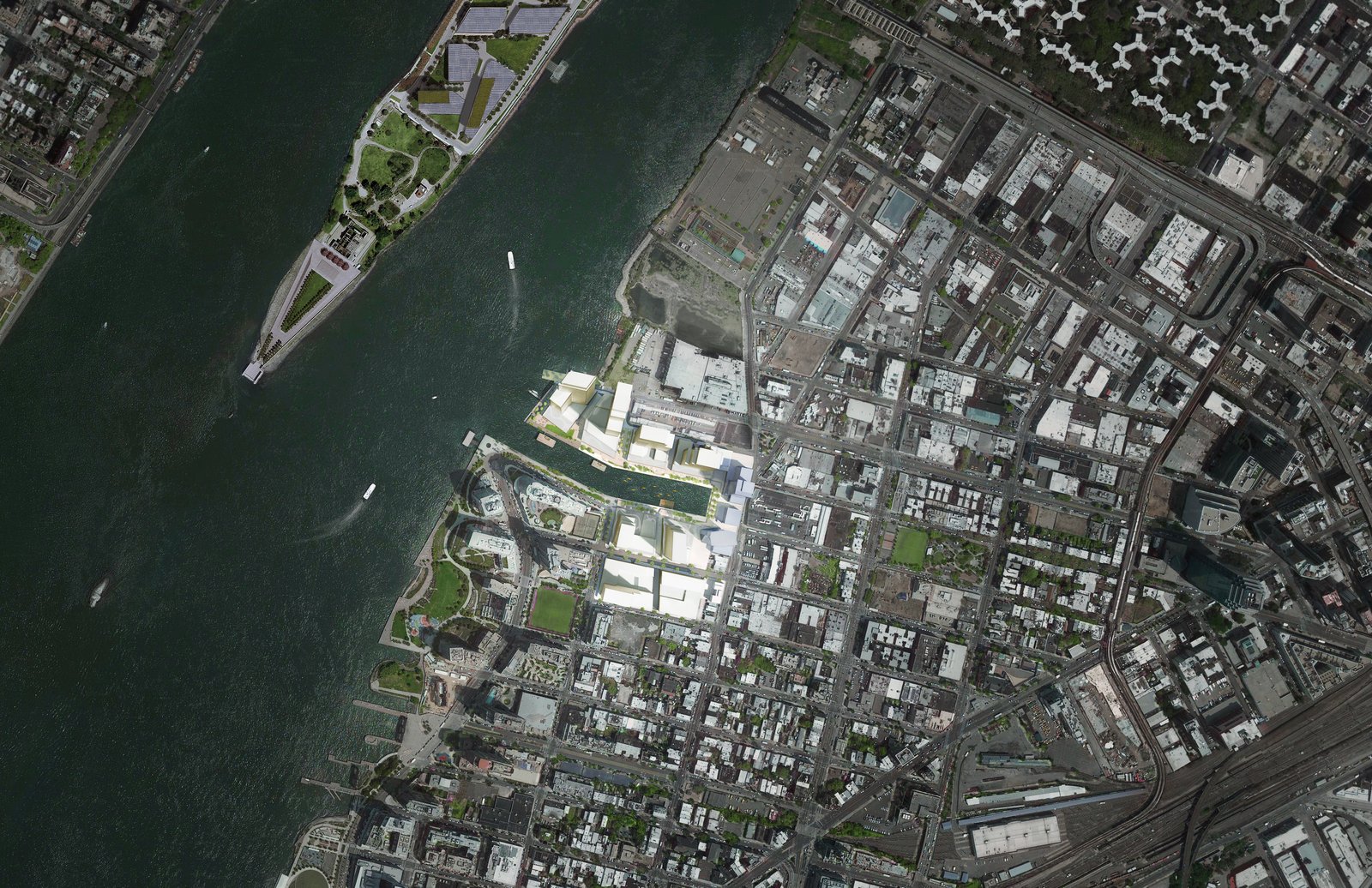
An aerial view showcasing Anable Basin’s planned transformation into a resilient mixed-use district.
Located in a high-risk flood zone, the Anable Basin site demands resilient design strategies to manage flooding and wave impacts while addressing sustainability concerns. Substantial infrastructure improvements are needed, including measures to reduce sewer overflows into the estuary. Additionally, the cumulative environmental impacts of other large-scale developments in the area must be carefully considered to avoid increasing local environmental pressures.
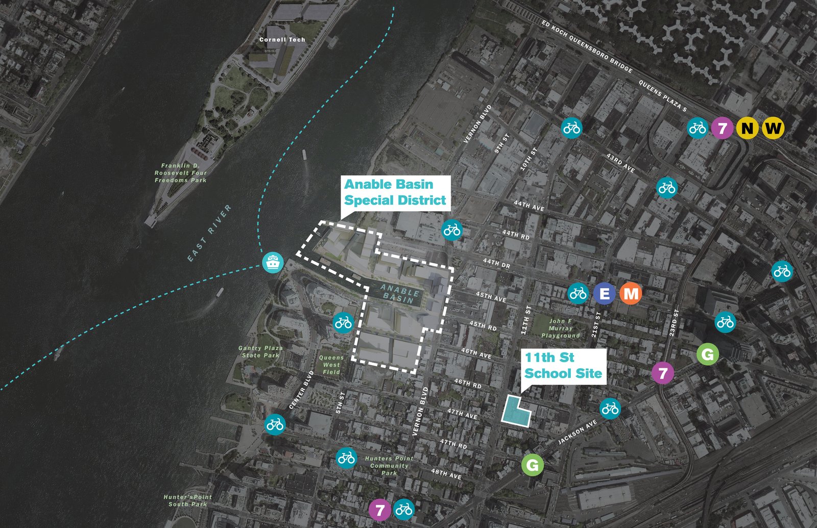
Annotated aerial map highlights Anable Basin’s proposed mixed-use district and surrounding connections.
The master plan establishes a strong economic base with 335,000 square feet of dedicated space for makers, artisans, and tech startups. It activates the East River waterfront and enhances resiliency by raising the site above the flood plain, including a bi-level esplanade that wraps around Anable Basin. This esplanade features landscaped paths, kayak docks, and critical flood-resilient infrastructure, linking parks along the Western Queens waterfront. A new public school, provided for on another site owned by Plaxall and planned just blocks from the proposed rezoning area, adds a vital resource for the community.
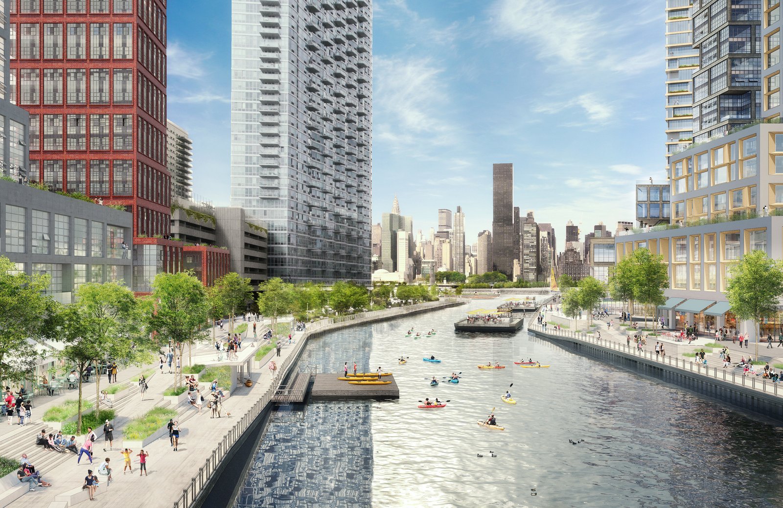
A rendering of the Anable Basin waterfront, featuring a promenade and terraced seating.
We worked alongside Plaxall and land-use attorneys to craft a robust rezoning proposal, incorporating community input gathered during informal sessions. Close collaboration with city agencies ensured the plan aligns with broader goals like the Mandatory Inclusionary Housing program, flood mitigation, and connectivity to the greater Queens waterfront.
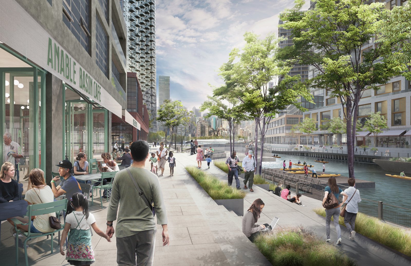
The Anable Basin urban plan integrates café-lined walkways, terraced seating, and kayak docks along a pedestrian-friendly esplanade.
The rezoning redefines Long Island City’s waterfront, creating opportunities for both residents and businesses. At full build, the district will provide many additional square feet for industrial uses and proposes nearly 5,000 housing units, of which 1,250 will be affordable. The plan transforms the waterfront with 3.1 acres of open space, enhancing public access and integrating flood-resilient infrastructure to protect the community. It also generates substantial economic benefits, including at least 2,200 permanent jobs, 10,000 construction-related roles, and $450 million in annual economic output.
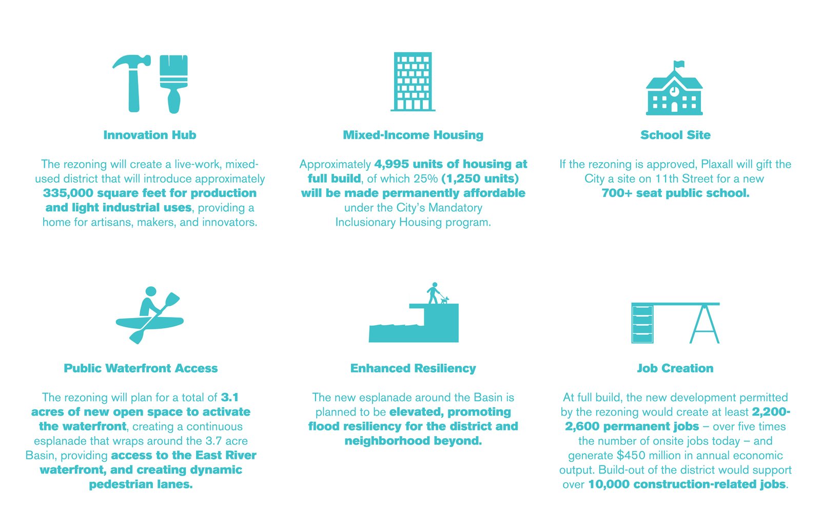
This infographic highlights Anable Basin’s rezoning benefits, including an innovation hub, affordable housing, public school, resilient design, waterfront access, and job creation.
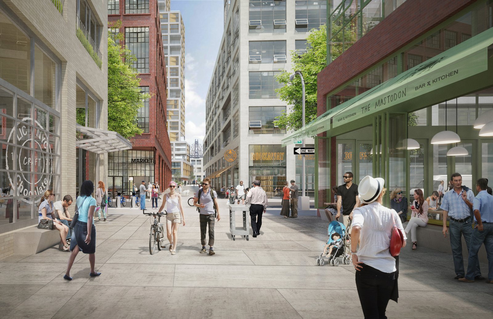
A rendering of Anable Basin’s pedestrian zone, showcasing vibrant street life, storefronts, and urban connectivity.
Keywords
- Mobility
- Resiliency
- Economic Development
Type
- Waterfronts
- Strategic Plans
- Zoning
